
Best time to visit Jujuy: weather, rain and seasons
There is no single perfect month for all of Jujuy. The Quebrada, Puna, Valleys and Yungas sit at very different elevations and climates, so the best time depends on the trip you actually want.
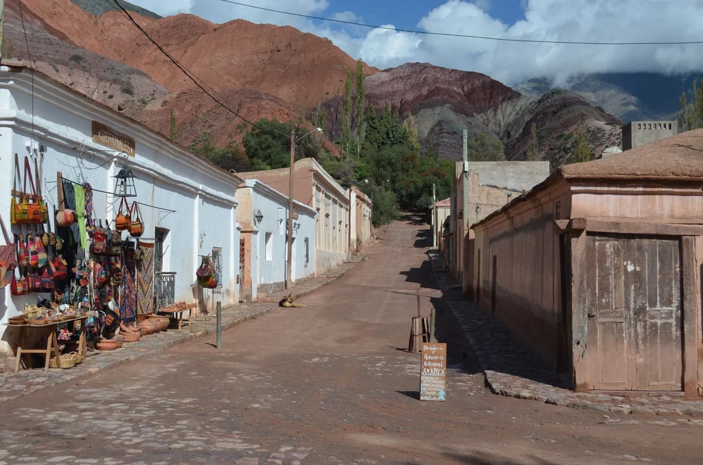
Archive 2012 · Elvis Boaventura
Photograph: Elvis Boaventura / Wikimedia Commons · CC BY 3.0 · Original source
Resized and converted to WebP; display crop adapted. No scene content was altered.
April to November: the more stable window for the Quebrada and Puna
Much of the Quebrada and Puna is drier through this part of the year, making mountain roads, walking and photography easier to plan. Winter nights can be genuinely cold at altitude, however, and frost is normal in the high country. Check the forecast and current road status before each outing; a favourable season does not guarantee an open road.
December to March: more rain and a different landscape
Summer is the wetter, stormier period across northern Argentina. Salinas Grandes can develop shallow surface water and the mirror effect many travellers hope to see, but it is not continuous and cannot be guaranteed for a specific date. The Yungas are much more humid than the Puna, so one climate rule cannot describe the whole province.
Choose by experience, not by a generic weather table
For more predictable skies and a Quebrada or Puna route, the dry season is usually the simpler choice. Summer brings greener landscapes but a greater chance of access changes. Carnival, Easter and the July winter holidays can increase accommodation demand, so confirm availability before locking in transport.
Pack for elevation as much as for the month
Use layers, sun protection, water and a warm outer layer even when the daytime forecast looks mild. Elevation changes sharply between Jujuy city, Purmamarca, Salinas and Hornocal. Check the actual destination rather than relying on the capital’s temperature, and leave margin when combining places with large altitude changes.
Before setting out, check the forecast, road status and the conditions at the specific destination; this guide explains patterns, not the conditions of a particular day.
Sources and how to use this guide
Trip organisation is an editorial suggestion. Confirm changing opening times, access and conditions with the relevant sources. References do not imply an on-site visit by our newsroom.
Report a correction →