
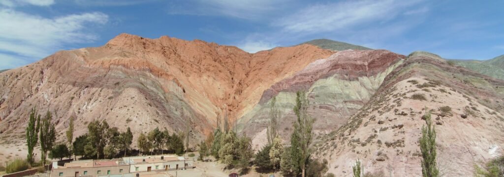
 Quebrada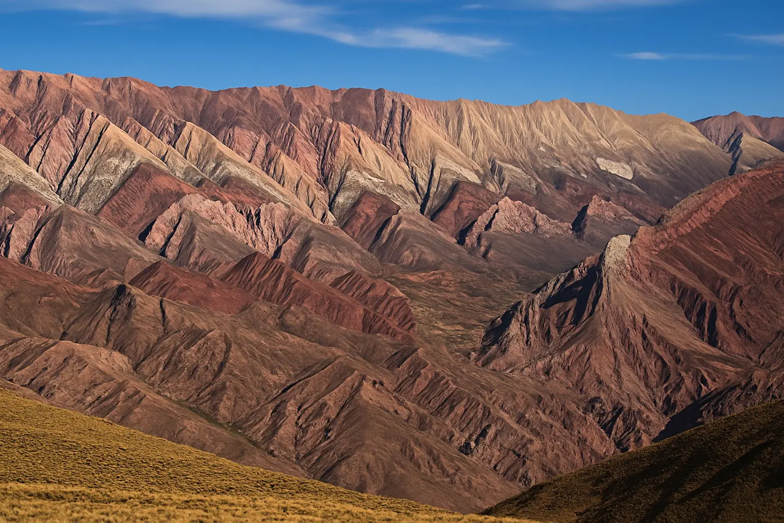
JUJUY 360 · ARGENTINA
EspañolJujuy travel guide
Jujuy,
your way.
Quebrada, Puna, Valleys and Yungas. Discover places, shape your route and find a base that makes sense.
Serranía del Hornocal · check conditions before travellingAlready in Jujuy?Choose your starting point. Not every trip starts at the airport.
A nearby outingA car-free daySTART WITH WHAT YOU NEED
Make the trip work for you
Choose by trip length, compare bases, solve transport or start with a region. Each guide connects practical decisions with places and the trip planner.
FIND YOUR NEXT STOP
Where to go in Jujuy
Search places or landscapes. Save what interests you, then build your route.
10 destinations with guides
Quebrada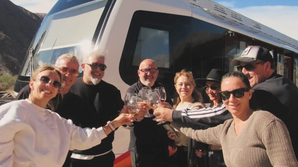 Quebrada
 Puna
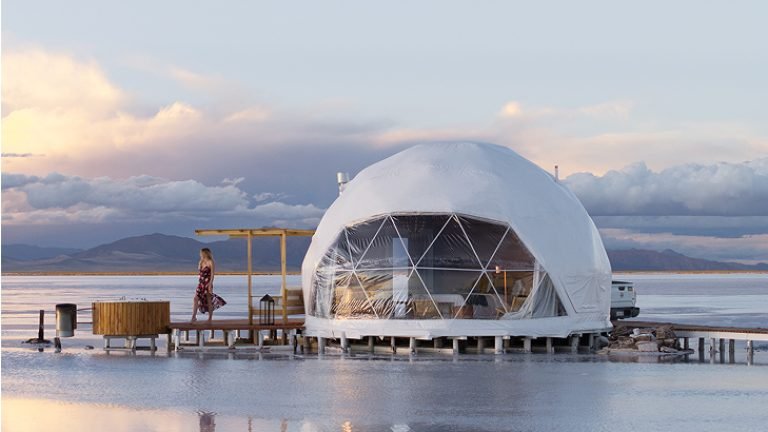
PunaSalinas Grandes
The salt flats via Cuesta de Lipán: a trip to plan carefully.
130 km from Jujuy city3.450 m
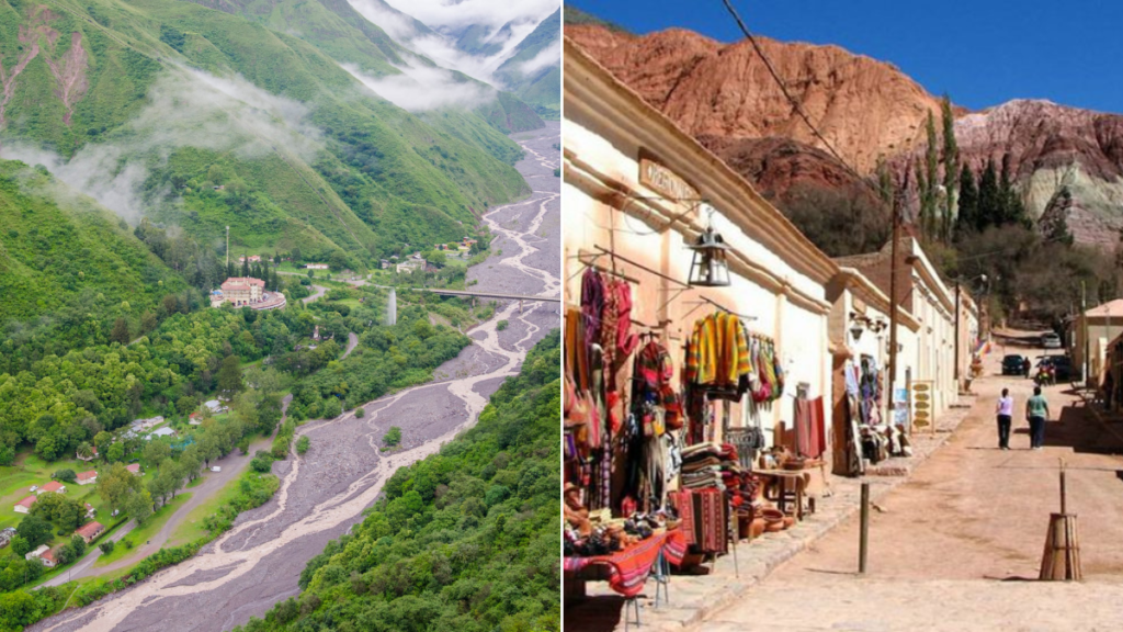 Valleys
Yala y Termas de Reyes
Green landscapes near the capital; the village is not the lakes.
19 km from Jujuy city1.600–2.000 m
 Yungas
Parque Nacional Calilegua
Yungas forest. Check access and trails with the national park.
120 km from Jujuy city400–3.000 m
 Quebrada
 Quebrada
 Quebrada
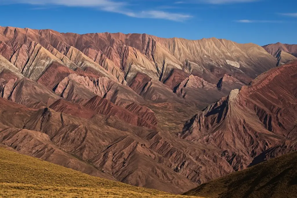
Serranía de Hornocal
A high-mountain viewpoint: allow time and arrange transport.
151 km from Jujuy citymirador a 4.350 m
 Puna
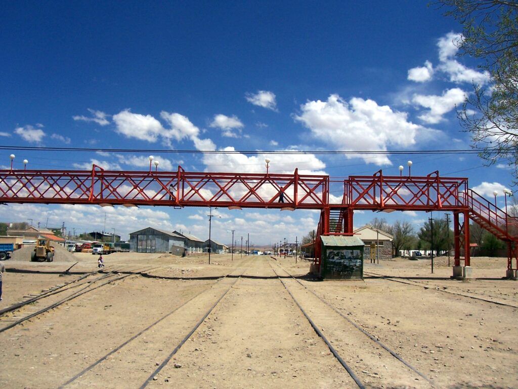
PunaLa Quiaca y Yavi
The far north, with connections to Yavi and the border.
292 km from Jujuy city3.442 m
 Puna
PunaNo matches. Try another name or clear a filter. Saved places stay in this browser.
How the Quebrada, Puna, Valleys and Yungas differ
The Puna · Argentina's high Andean plateau — vast, dry, and sparsely populated, shared with neighboring Bolivia and Chile. Expect wide-open landscapes, salt flats, llama and vicuña herds, intense sun, and genuinely cold nights year-round. Includes Salinas Grandes, Susques and La Quiaca.
Quebrada de Humahuaca · A UNESCO World Heritage canyon running north from near the capital, defined by mineral-striped hillsides, adobe colonial villages, and the region's densest concentration of tourist infrastructure. Includes Purmamarca, Tilcara, Maimará and Humahuaca.
Yungas (cloud forest) · Subtropical mountain cloud forest on the eastern flank of the Andes — humid, green, and a sharp contrast to the dry highlands. Home to Calilegua National Park and much of the province's wildlife and birdlife.
Valles Templados · The milder valley zone around San Salvador de Jujuy and nearby towns like Yala — the most temperate part of the province, and usually the first and last stop on a Jujuy itinerary.
A REALISTIC TRIP, NOT AN ENDLESS LIST
Build your trip
Also for a local outing from where you are now. Saved places influence the selection, but never override constraints.
The proposal updates as you choose. Routes do not use your location or learn from personal data.
Starting in San Salvador de Jujuy · 3 days
One main stop per outing day. This sequence is a starting point, not confirmed travel times or connections.
- 1
- 2
- 3
Bases to compare: Purmamarca · Tilcara · Humahuaca Compare trade-offs →
Before travelling: confirm return transport, access, weather and accommodation. “No high-mountain excursions” does not mean low altitude or medical suitability.
Why these recommendations
The engine filters by corridor and base, days, transport and high-mountain preferences. It then prioritises interests and saved places with a stable tie-break, and orders the chosen stops along the corridor. Each outing has one main stop; fewer days or a slower pace reduce the list. Commission, invented popularity and prices do not affect order. This is an automated editorial suggestion, not road navigation or a booking.
LOCATION BEFORE ADVERTISING
Where to base your trip
Compare what each place makes practical and what travel it adds. This is not a hotel ranking.
San Salvador de Jujuy
Useful for arrival and departure logistics, the city and its surroundings.
Trade-off: Returning every night from the north adds travel.
Tilcara
An intermediate base for Tilcara, Maimará and the RN9 corridor.
Trade-off: Salinas and Hornocal need separate planning.
Explore the area →Purmamarca
For time in the village and an outing along RN52.
Trade-off: Less convenient for repeated trips to Humahuaca.
Explore the area →Humahuaca
A base to consider before the viewpoint or continuing to the Puna.
Trade-off: Staying here does not guarantee acclimatisation; check your travel needs.
Explore the area →Libertador / Calilegua
Plan the park separately from the Quebrada circuit.
Trade-off: Check park access and transfers; door-to-door transport is not assumed.
Explore the area →Check the exact location, transfers, cancellation terms and total price before booking. We do not display prices or availability without an authorised source.
BEFORE YOU GO
Information that changes your trip
Guides help you decide; official sources confirm changing conditions. A news story is not a current travel alert.
Weather by destination
Check forecasts and their update times before leaving.
Check source → (Spanish)Road conditions
Distance is not enough: check the road corridor you will use.
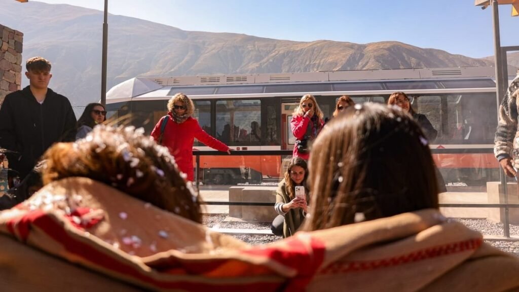
Check source → (Spanish)Tren Solar
Check the experience, departure station and connections. We do not copy expired promotions.
Check source → (Spanish)Registered guides
Use the register and confirm language, service and transport directly.
Check source → (Spanish)Calilegua: access and trails
Check the National Park guidance; we do not assume every trail is open.
Check source → (Spanish)San Salvador: city experiences
Heritage, walks and suggestions from the municipal tourism office.
Check source → (Spanish)International travel, payments and accessibility
Check entry requirements for your nationality with Migraciones. Before paying, verify currency, total price, taxes and cancellation with the provider. For accessibility, ask about terrain, steps, toilets and specific support: we do not label places accessible without verification.
Migraciones · official informationHealth and altitude · CDC guidance
ARRIVAL AND DEPARTURE
Jujuy Airport · JUJ
Check your flight and arrange the transfer to your base separately. This board provides information; it does not sell tickets.
Distances, roads and altitude from San Salvador
Planning references from the existing guides. These are not live travel times and do not account for stops, closures or acclimatisation.
| Destination | km | Approx. drive | Road | Altitude |
|---|---|---|---|---|
| Purmamarca | 65 km | 1 h | RN 9 + RN 52 | 2.192 m |
| Tilcara | 84 km | 1 h 15 | RN 9 | 2.461 m |
| Maimará | 75 km | 1 h 10 | RN 9 | 2.383 m |
| Humahuaca | 126 km | 2 h | RN 9 | 2.939 m |
| Serranía de Hornocal | 151 km | 2 h 45 | RN 9 + 25 km de ripio | mirador a 4.350 m |
| Salinas Grandes | 130 km | 2 h 15 | RN 9 + RN 52 (Cuesta de Lipán) | 3.450 m |
| Susques | 205 km | 3 h | RN 9 + RN 52 | 3.675 m |
| La Quiaca y Yavi | 292 km | 4 h | RN 9 | 3.442 m |
| Yala y Termas de Reyes | 19 km | 30 min | RN 9 + RP 4 | 1.600–2.000 m |
| Parque Nacional Calilegua | 120 km | 2 h | RN 66 + RN 34 + RP 83 | 400–3.000 m |
Questions to resolve before travelling
Is Jujuy safe for tourists?
Conditions vary by place and time. Use ordinary travel precautions, check official road, weather and access updates, choose registered providers for remote outings, and tell someone your route before entering areas with limited phone signal.
How many days do I need to see Jujuy properly?
A minimum of 4-5 days covers the core Quebrada highlights. A full week allows a slower Quebrada route with Salinas Grandes and, if access and transport are confirmed, the Hornocal. Plan additional days if you also want to visit the remote Puna or Calilegua rather than forcing every region into one route.
Do I need to speak Spanish to travel around Jujuy?
It helps a great deal — English is inconsistently spoken outside hotels and the more established tour operators, especially in smaller Quebrada and Puna towns, so basic Spanish (or a translation app) makes independent travel considerably easier.
JUJUY360
Local tourism updates
Recently published local news in Spanish. Check the date and the conditions of each proposal.
Jujuy360 · Editorial guides and planning tools. Confirm operational details with each provider. Recommendations are not sold and do not promise availability.